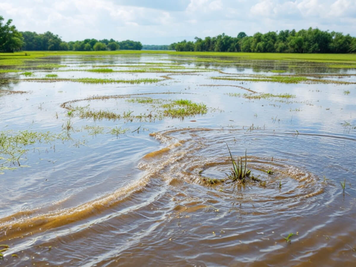
This article presents a case study of Abongan in Taytay, Palawan showing evidence of sea level rise. Is sea level rise due to climate change or tectonic movements? Read on to find out.
Table of Contents
One of the most effective ways to identify a meaningful research topic in environmental science is to step outside the classroom, engage with communities, and ask questions. Fieldwork often reveals pressing, real-world issues that data alone cannot uncover.
A recent field visit to Abongan, a farming community in Taytay, Palawan, illustrates how this approach works. Here, rising sea levels are slowly swallowing rice fields. Farmers are losing income, mangroves are replacing once-productive farmlands, and anxiety is growing among locals who depend on rice for livelihood.
This case shows not only how a research topic emerges but also how it can directly benefit the people most affected.
Sea Level Rise in Palawan: A Case Study
Abongan is about 167 kilometers northeast of Puerto Princesa City, near the Malampaya Sound, once known as the “fish bowl of the Philippines” for its rich marine biodiversity. During a focus group discussion with local agricultural stakeholders, our team discovered that saltwater intrusion had been a growing problem since the mid-1990s.

Key observation: Saltwater has inundated rice fields, transforming around 200 hectares of farmland into mangrove stands.
From an environmental economics perspective, one urgent question arises:
How much are farmers losing each year because of sea level rise?
Estimating the Economic Loss
Using local production data and conservative assumptions, we can estimate the annual loss of income:
- Affected farmland: 200 hectares
- Yield per hectare: 100 cavans of palay
- Rice produced per cavan: 12.5 kg (25% of palay weight)
- Rice price per kg: ₱42 ($0.92)
- Croppings per year: 2
- Return on investment: ~50%
The calculation:
- Per hectare, per cropping: 1,250 kg × ₱42 = ₱52,500 ($1,150)
- For 200 hectares: ₱10.5 million ($48,300) per cropping
- Annual loss (two croppings): ₱21 million ($96,600)
- Net loss (50% ROI): ₱10.5 million ($48,300) per year
This figure is likely to grow as saltwater creeps further inland, threatening more farmland each year.
Farmer Adaptation to Sea Level Rise
The farmers are not passive. Some have built dikes to hold back the saltwater, while others are exploring ways to channel more freshwater from upland watersheds to flush out salinity.
This situation raises additional research questions:
- Which mangrove species thrive in the newly inundated areas?
- What other adaptation measures can farmers adopt?
- What is the current salinity level of river water adjacent to the rice fields?
These questions are not merely academic—they point toward solutions that can help empower the community and guide policy and resource management.
Why Fieldwork Matters in Choosing a Research Topic
This experience underscores an essential lesson for graduate students and researchers:
Some of the most valuable research ideas will not come from textbooks or lecture slides—they will come from the field.
Some of the most valuable research ideas will not come from textbooks or lecture slides—they will come from the field.
By observing, asking questions, and listening to the people living with these challenges, you can uncover issues that:
- Fill gaps in scientific knowledge
- Provide immediate benefits to communities
- Inform policy and adaptation strategies
Tip for graduate students: When you’re stuck trying to define your thesis topic, take a field trip. Your next big research idea might be waiting just beyond the classroom walls.
Key Points to Remember in this Case Study
Fieldwork is not just data collection—it’s where research questions are born. In Abongan, Palawan, a conversation with rice farmers about sea level rise turned into a case study on economic loss, adaptation, and climate resilience.
Potential Thesis Topics Inspired by This Case Study
Here are graduate-level research topics that can emerge from this case:
- Economic Valuation of Agricultural Losses Due to Sea Level Rise in Palawan
- Mangrove Colonization Patterns in Abandoned Rice Fields Affected by Saltwater Intrusion
- Cost-Effectiveness of Farmer-Built Dikes in Mitigating Saltwater Intrusion
- Assessment of Salinity Levels in River Systems and Their Impact on Rice Production
- Socioeconomic Resilience of Rural Farming Communities to Climate Change-Induced Flooding
- Community-Based Adaptation Strategies to Sea Level Rise: A Case Study of Taytay, Palawan
- Predictive Modeling of Farmland Loss Using GIS and Historical Saltwater Intrusion Data
- Comparative Analysis of Farmer Perceptions of Climate Change Across Coastal Barangays
- Evaluation of Freshwater Diversion Strategies as an Adaptive Measure Against Sea Level Rise
- Policy Gaps in Addressing Agricultural Land Loss from Climate Change in the Philippines
Additional Notes
So what is responsible for the sea level rise in Palawan? Is it due to global warming that caused sea levels to rise? Or is it due to other reasons?
According to a study titled Higher-than-present Holocene mean sea levels in Ilocos, Palawan and Samar, Philippines by Maeda et al. (2004) particularly in Palawan, the researchers discovered that the land hasn’t stayed perfectly stable over the past several thousand years. By studying tidal notches (natural grooves carved by the sea) and ancient coral reef terraces now sitting above today’s shoreline, they found signs that the island has been tilting in two different directions—the northern part leaning slightly northeast, while the southern part tilts southwest. This unusual pattern strongly suggests that there are active faults in central Palawan that have been slowly shifting the land over thousands of years.
Palawan has been tilting in two different directions—the northern part leaning slightly northeast, while the southern part tilts southwest.
They also noticed abrupt changes in the height of old sea-level markers around Palawan. These “jumps” mean that the land didn’t just rise or tilt slowly—it experienced sudden movements, likely caused by tectonic activity. These shifts changed how the coastline looked and where the sea met the land, which is important for understanding how vulnerable different parts of Palawan might be to future earthquakes, land movements, and sea-level changes.
Reference
Maeda, Y., Siringan, F., Omura, A., Berdin, R., Hosono, Y., Atsumi, S., & Nakamura, T. (2004). Higher-than-present Holocene mean sea levels in Ilocos, Palawan and Samar, Philippines. Quaternary International, 115, 15-26.
©2015 January 11 P. A. Regoniel | Updated 3 August 2025


